


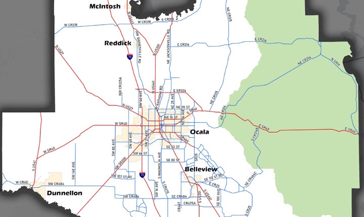
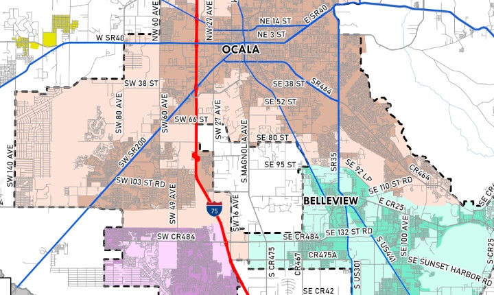
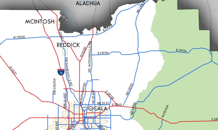
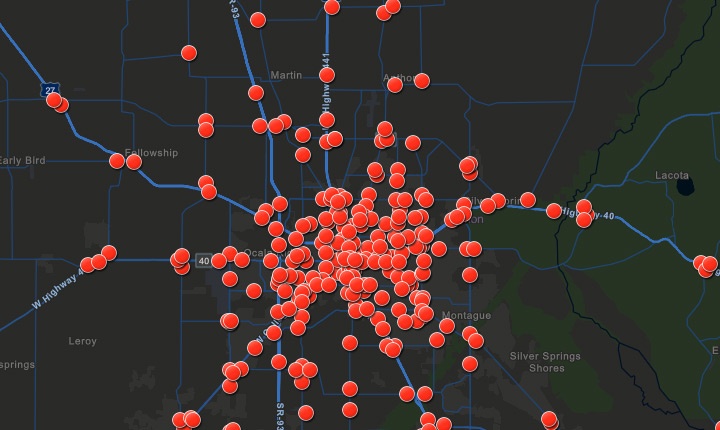
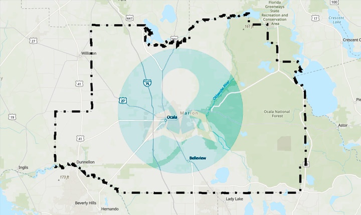
The Ocala/Marion TPO provides a wide range of maps to visually communicate information about our region to policy-makers and the public. The TPO manages a gallery of both interactive and static maps that display transportation, employment, land use, demographics, and other data.
Quick Links
GET IN TOUCH WITH US


CONFIRM..!
You are about to leave this page. Are you sure you want to leave this page?
© Ocala Marion County Transportation Planning Organization (TPO). All Rights Reserved.